The Challenge
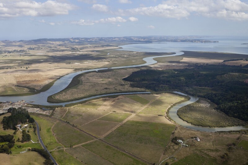
Land use changes over time have contributed to much larger volumes of sediment and other contaminants flowing through the catchments that feed into Aotearoa’s largest harbour. The degradation of the harbour has impacted recreational and commercial fishing, community access to swimming and shellfish gathering, and has had adverse cultural impacts on local iwi/hapū.
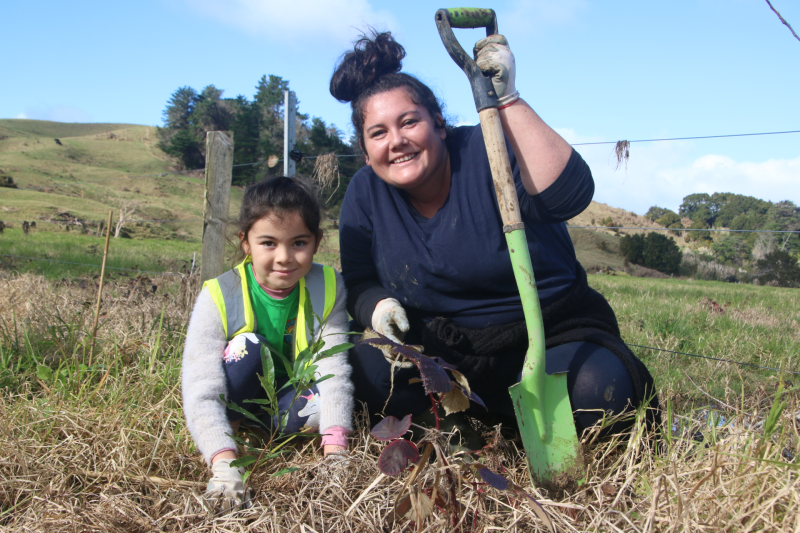
The Kaipara Moana Remediation (KMR) programme aims to restore mauri to the Kaipara Moana - enabling it to be healthy, self-sustaining and naturally productive. The programme is achieving this by working directly with landowners, iwi/hapū and community groups to co-fund actions that reduce the flow of sediment into the moana, such as riparian zone planting and fencing.
Given a pace and scale of environmental remediation that has not been seen before in Aotearoa, the KMR programme require a way of efficiently creating sediment reduction plans. This includes being able to better manage the workforce and funding allocation associated with the doing mahi on the ground.
The Solution
As a newly formed programme, KMR first worked with MadeCurious to map out the information needs of the programme and to bring clarity to new business processes. Through this discovery, prototyping, and testing, the Mātai Onekura tool for digital sediment reduction planning took shape.
The tool enables KMR to manage the end-to-end sediment reduction plan process, including the allocation of field staff and the supply of native trees around the catchment. A major goal of the tool has been to reduce the manual work of field staff by enabling them to easily capture the proposed remediation activities spatially.
The rich spatial tooling, enabled by the MadeCurious technology platform, means field staff can seamlessly view features of a property before going onsite and automatically calculate the cost of proposed remediation activities. Not only does this allow field staff to focus their conversations with landowners, but the structured spatial data will be used by the programme’s freshwater accounting model to inform and prioritise more targeted decision making on the ground.
A supportive partnership
"MadeCurious has helped us to deliver a digital sediment reduction planning tool that fits our programme context. It provides both structure and flexibility to our workflows, and can be refined over time.
This tool has been delivered at a time when our small team has primarily been focussed on expanding on-the-ground work across the catchment. I’ve appreciated MadeCurious’s way of working in this context: they have skilfully supported the process, taken real initiative with problem-solving, and have been both adaptive and willing to challenge our thinking."Stephanie Versteeg - Amo-Rautaki Pākihi | Strategic Business Partner Kaipara Moana Remediation
A Focus On
-
Making it easy for field staff to work with those on the ground, rather than battling Word docs
-
Using spatial data and predictive models to focus remediation activities on the areas contributing to the greatest sediment loss
-
Working collaboratively to ensure the outcomes for all KMR partners are achieved
How it came together
-
Collaborate
Working with KMR, council staff, and a third party vendor to set a vision for the solution and scope the initial phase of delivery
-
Design
Using our system to quickly build rich interactive prototypes to test solution ideas with field staff
-
Develop
Using the MadeCurious technology platform to build an industry-leading solution that seamlessly weaves rich spatial functionality into business processes
-
Support
Working with KMR to iteratively develop the Mātai Onekura road map and to identify opportunities within the complex farm planning regulatory environment
Technically Speaking
Core to Mātai Onekura is mapping geographical information and associating it with workflow steps. We were able to build on our previous experience with both and bring them together with components of the MadeCurious Application Framework to build a rich user experience.
The MadeCurious Application Framework frontend React components really helped develop a consistent experience across the application in a structured maintainable way. While the backend components enabled us to focus on developing the workflows KMR required and not worry too much about capabilities such as search, authentication and authorisation.
Curious?
Let's Talk
